Selecting a Radar
The radar selection feature within our program offers users a seamless and efficient way to access specific radar data and maps tailored to their requirements. This functionality is pivotal for users who seek detailed insights into atmospheric conditions, weather patterns, or other radar-related activities. Below is a comprehensive guide on how to utilize this feature for an enriched user experience:
Radar Selection
-
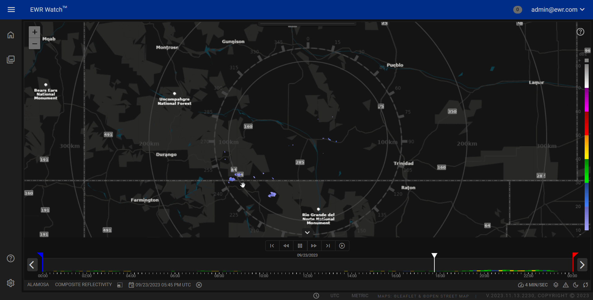
Radar Selection
- Locate and access the radar selection option In the bottom left corner.
- This will be found in the product panels control bar, The panel control bar will always be below the map area.
-
Choose a Radar:
- Click on the radar selection button to reveal a list of available radars.
- The radar select button will have the current selected radar name displayed as seen in the gif above.
-
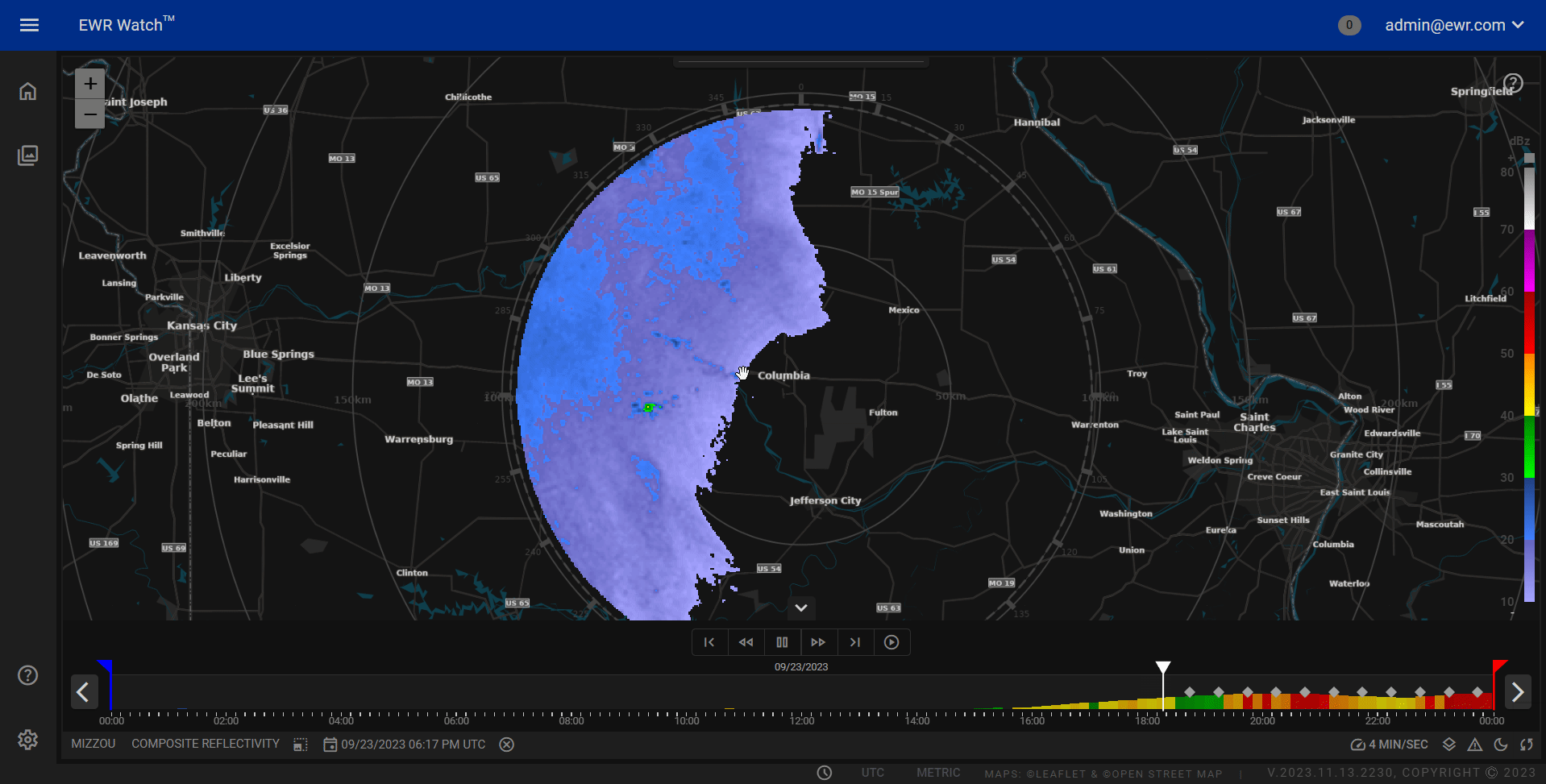
Load Radar Data and Map:
- Upon selecting a radar, the program will automatically load the corresponding radar data and map.
- Users can now visualize and analyze the radar information specific to their chosen location.
Calendar Integration
-
Accessing the Calendar:
- Our program incorporates a calendar feature for users to explore radar activities on specific dates.
- Find and access the calendar option within the product panels control bar as seen in the gif above.
-
Selecting Dates:
- Click on the desired date within the calendar to view the radar's historical or scheduled activities.
- Users can navigate through different dates to track changes or patterns in the radar data.
-
Viewing Radar Activity:
- Upon selecting a date, the program will display the radar's activities for that specific timeframe.
- Users can gain valuable insights into past and present radar observations.
By seamlessly integrating radar selection with a calendar, our program empowers users to efficiently access, analyze, and interpret radar data for a more informed decision-making process. This comprehensive feature enhances the overall usability of the program, catering to the diverse needs of users engaged in meteorology, environmental monitoring, or any other field where radar data plays a crucial role.