Reading the Scale Bar
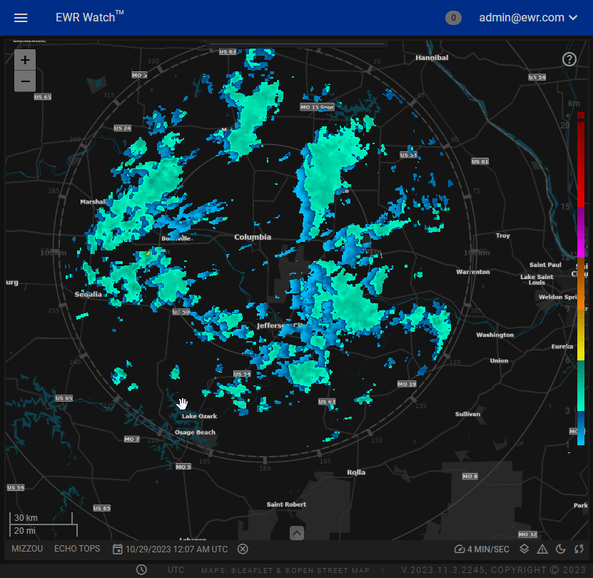
The Scale Bar is a feature integrated into our program's mapping functionality, designed to enhance user experience by providing real-time, responsive scale information. This innovative tool not only reflects the current scale of the map but also adjusts dynamically as users zoom in or out, ensuring accurate distance measurements in both miles and kilometers.
Scale Bar Features
-
Real-time Interaction: The Dynamic Scale Bar is engineered to respond instantly to changes in map zoom levels. As users zoom in for a closer view or zoom out for a broader perspective, the scale bar adapts dynamically, maintaining precision in distance measurements.
-
Dual Unit Display: To accommodate a diverse user base, the scale bar conveniently displays distance metrics in both miles and kilometers. This flexibility allows users to seamlessly switch between units based on their preferences or project requirements.
-
Intuitive Design: The scale bar is seamlessly integrated into the map interface, ensuring a clutter-free and intuitive user experience. Its unobtrusive yet easily accessible placement allows users to focus on their maps while always having crucial distance information at their fingertips.
Show & Hide
-
Right-Click
Simply right-click on the map a menu will appear select adornments. -
Adornments Menu
From the contextual menu, select "Adornments" to access a range of map elements that can be toggled on or off. -
Toggle Scale Bar
Within the Adornments menu, find the "Toggle Scale Bar" option and click to activate or deactivate the scale bar as needed.